
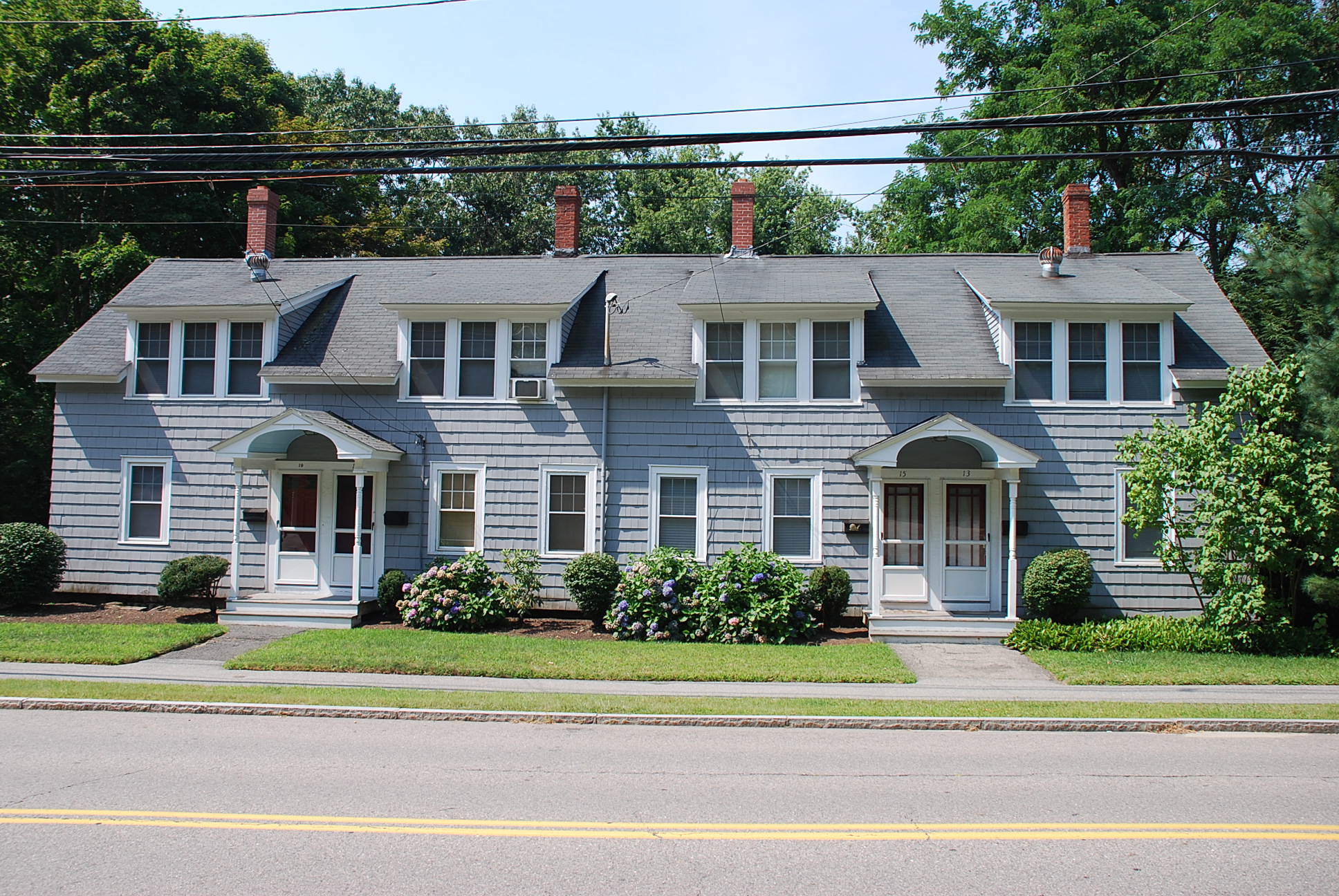
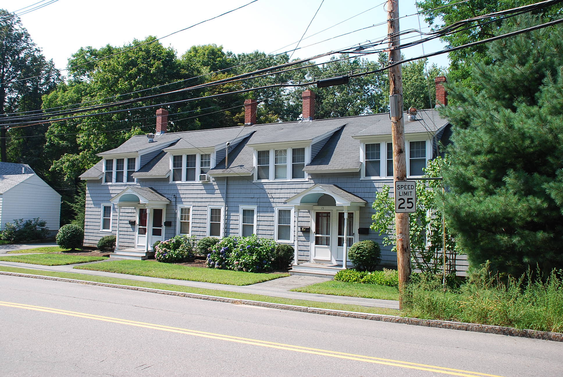
Architectural Description:
Style: Picturesque
Other features: heated by gas stoves
Historical Narrative:
Present owner: Pauline Persons: Carter, Frances & Georgette (27 Nov 1973)
Previous owners:
1. Marshall, Clifford & Ruth (16 Nov 1940)
2. Lane, William & Georgina (3 Feb 1960)
Themes: Architectural, Community development, Industry
Historical significance: Later mill housing probably developed under J. Putnam Bradlee's proprietorship at Ballardvale - Bradlee Mills.
Bibliography/References:
Essex County Registry Deeds, Salem, MA
Essex Northern Registry Deeds, Lawrence, MA
J. P. Bradlee map 1889 - parcels 15 & 16
Owners;
Josiah Putnam Bradlee -
Josiah Putnam Bradlee estate, William H. Hodgkins Trustee - 1889
Ballard Vale Mills Company - Feb. 6, 1905 - b. 218 p. 238 (p. 240 parcel 4 lots 15 & 16)
Patrick J. Hannon - May 22, 1926 - b. 524 p. 265
Patrick J. Hannon - Jan. 11, 1931 - b. 556 p. 167 - mtg.
Andover Savings Bank - Jan. 2, 1935 - b. 584 p. 115 - mtg. deeds
Wallace W. & Ruth J. Ward - Oct. 27, 1936 - b. 602 p. 125
Clifford E. & Ruth S. Marshall - Nov. 15, 1940 - b. 636 p. 83
William & Georgina Lane - Feb. 2, 1960 - b. 910 p. 21
William Lane estate, heir Georgina Lane
Francis J. & Georgette Z. Carter, R. Pauline Persons - Nov. 30, 1973 - b. 1232 p. 133
R. Pauline Persons - Nov. 30, 1984
Michael M. Kaleel & Signe N. Kaleel - Dec. 7, 1984 - b. 1910 p. 110
River Street Realty Trust, Kaleel, trustees - Dec. 28, 1984 - b. 1910 p. 116
River Street Realty Trust - Dec. 31, 1986 - b. 2396 p. 284
Russell B. Swapp - Jan. 29, 1999 - b. 5331 p. 204
Awilda & Felix Castillo - July 13, 2000 - b. 5779 p. 210
Mark & Julia P. Ratte - July 12, 2001 - b. 6248 p. 27
Inventory Data:
| Street | River St |
| Place | Ballardvale |
| Historic District | Ballardvale Local Historic District |
| Present Use | 4 family residence |
| Construction Date | late 19th century |
| Source | ECRDS, ENRDL, style-njs |
| Architectural Style | Other |
| Foundation | stone/granite/brick |
| Wall/Trim | shingles (added 1974) |
| Roof | asphalt - gable |
| Condition | excellent |
| Acreage | 0.328 acre, Lot size: 14,272 sq. ft.; Approximate frontage: 95' |
| Setting | residential |
| Map and parcel | 139-150 |
| Recorded by | N.J. Stack/Mofford, James Batchelder |
| Organization | Andover Preservation Commission |
| Date entered | 1975 - 1977, 12/22/2016 |


