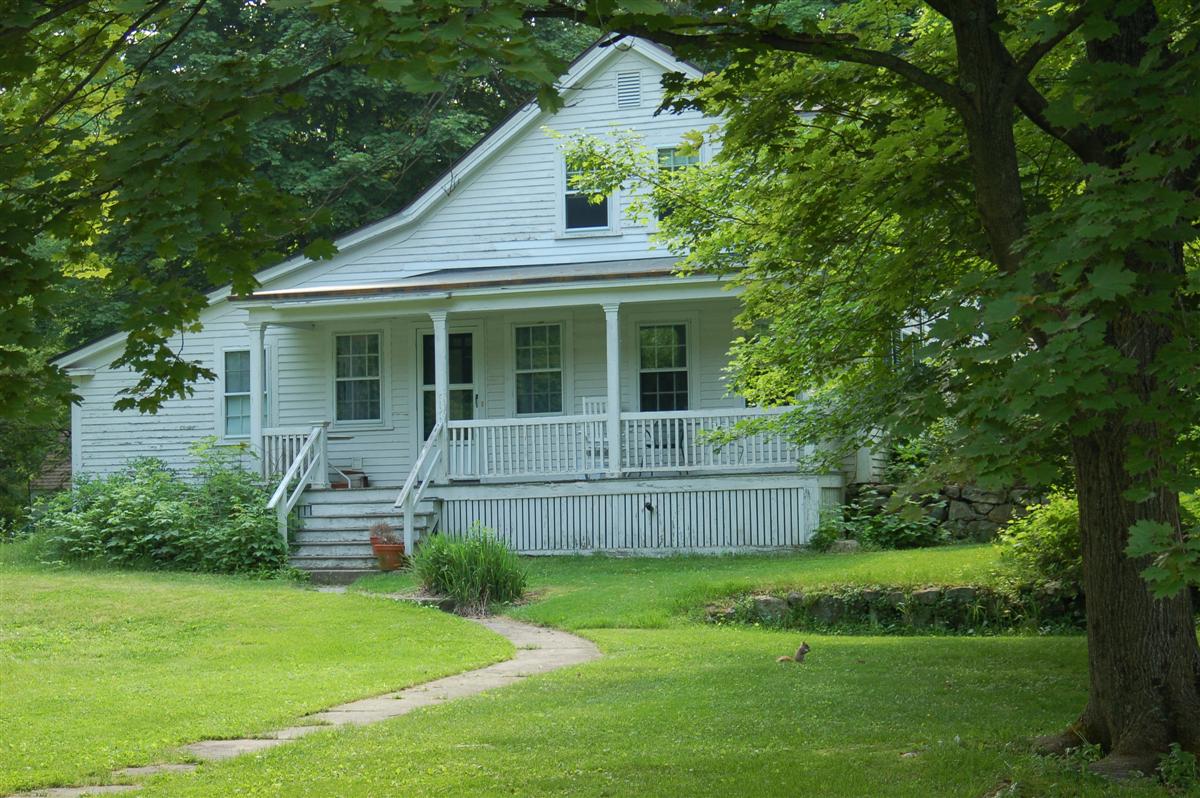
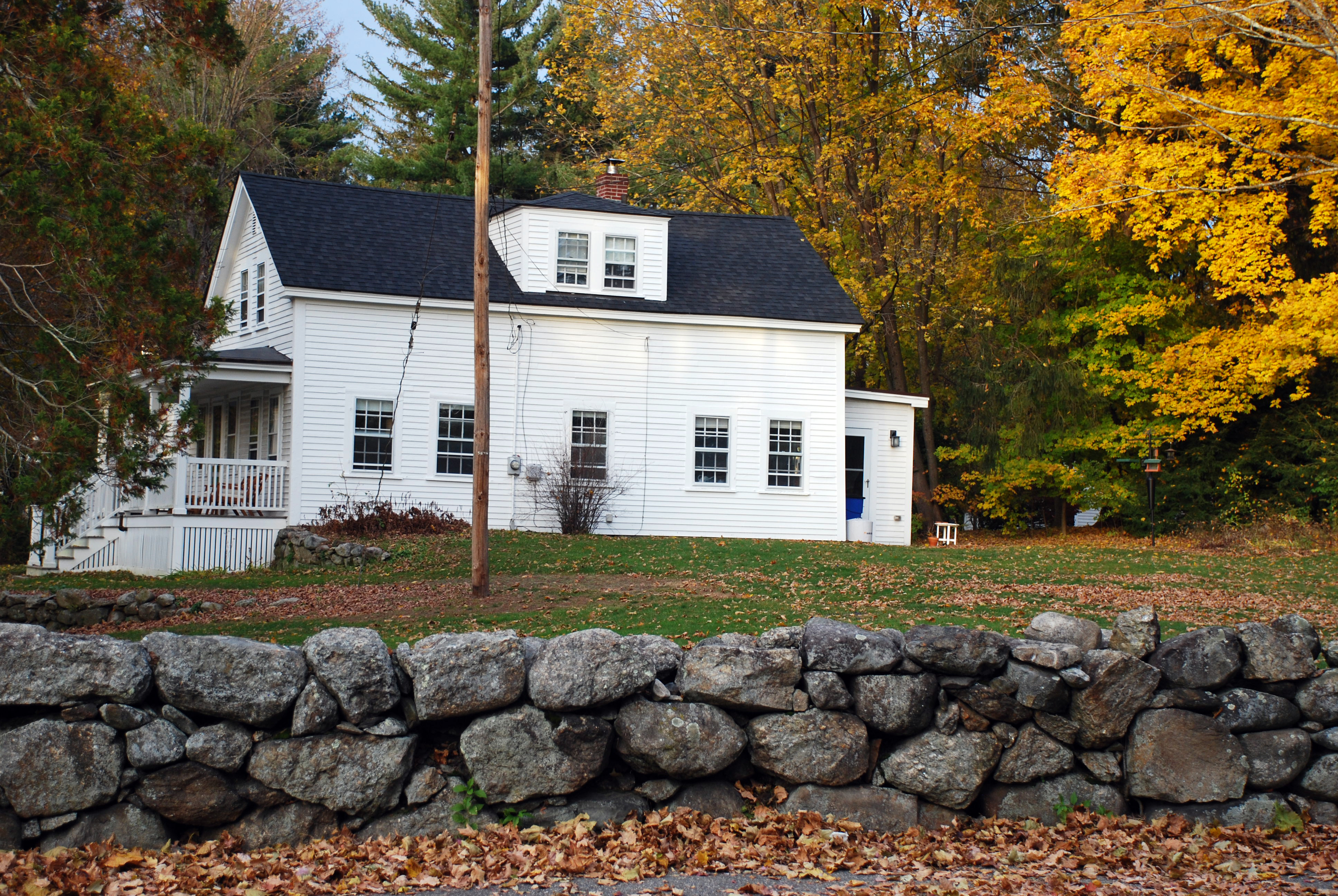
Architectural Description:
NRDIS NRMRA
Historical Narrative:
Previous information posted on the property was in error and related to a South Main St. property.
Deed references in the Registry of Deeds in Lawrence of this site in 1906 are also not correct, preventing further research, as to the owner line, at this time.
A date of 1820 was placed on this home when the building survey was first done in 1975-1976. The town assessors office post a date of approximately 1866.
Bibliography/References:
Essex County Registry Deeds, Salem, MA
Essex Northern Registry Deeds, Lawrence, MA.
Andover Map 1906
Map plan #1477 - June 1944 - Emery Trott - 29,750 sq. ft.
Map plan #5916 - Aug. 1957 - Emery Trott to Phillips Academy - 7.07 acres to rear
Owners;
Trustees of Phillips Academy - Sept. 20, 1968 - b. 1115 p. 65
Emery Trott Estate, Theodore Hollander, Extr. - Dec. 19, 1967 - Probate #294,306
Emery Trott - Dec. 23, 1929 - b. 550 p. 398
Mabel J. Trott estate - Probate # 212,311
Mabel J. & Emery Trott - Oct. 3, 1919 - b. 459 p. 395
Samuel P. Hulme - Oct. 3, 1919 - b. 408 p. 258
Frank D. & Harriet P. Somers - Oct. 17, 1906 - b. 238 p. 470 - deed error
Frank D. Somers - May 26, 1905 - b. 220 p. 193 - three parcels
William W. Cropley - May 9, 1905 - b. 220 p. 192 - lot 3 - 51,215 sq. ft
William W. Cropley - Jan. 1, 1890 - b. 108 p. 374 - lot 2 - "Mars lot" Rose Street
William W. Cropley - Aug. 25, 1889 - b. 102 p. 564 - 9 acres w/blds
Harriet P. Somers - Oct. 17, 1906 - b. 238 p. 470 - deed error
Perley F. Gilbert - Oct. 17, 1906 - b. 238 p. 467
Frank D. Somers
Ruby A. Carter, wife of George H. - Sept. 7, 1888 - b. 97 p. 101 - two parcels
Charlotte B. Richardson, Willie F. Richardson -
Ruby A. Carter, wife of George H - June 23, 1879 - b. 56 pages 30- 32 & p. 223
Charlotte B. Richardson, Willie F. Richardson - June 23, 1879 - b. 56 p. 29
William Griffin estate, Wm. G. Hammond adm. - Probate will conditions
Inventory Data:
| Street | Stonehedge Rd |
| Place | Phillips District |
| Historic District | Not Applicable |
| Present Use | residence |
| Original Use | residence |
| Construction Date | c. 1820's |
| Source | ERDS, NERDL, style, |
| Architectural Style | Federal |
| Foundation | stone & granite |
| Wall/Trim | clapboards/wood |
| Roof | asphalt/gable |
| Outbuildings / Secondary Structures | barn at rear |
| Condition | good |
| Acreage | 1.296 acres |
| Setting | residential/educational |
| Map and parcel | 41-46 |
| MHC Number | ANV.645 |
| Recorded by | Stack/Mofford, James S. Batchelder |
| Organization | Andover Preservation Commission |
| Date entered | 1975-77, 3/31/2018 |


